
Middleborough Neighbor Lookup Sources
The immediate block around a Middleborough address is best understood as a set of parcels and records, not as a complete household roster. MapGeo shows the parcel geometry and nearby property identifiers. Vision cards can identify assessed owners and both situs and mailing fields. Plymouth TitleView adds the deed chain, plans, easements, and lot changes. Local voter or annual-census material has a different legal route, and community groups supply public contacts rather than personal rosters.
| Block source | What it can show nearby | Middleborough access |
|---|---|---|
| MapGeo parcel map | Adjacent parcel geometry, address, owner, Property ID, and Abutters context | Public viewer; approximate and non-legal |
| Vision property card | Assessed owner and mailing/situs fields for a selected parcel | Public portal or assessor counter; fields are dynamic |
| Registry TitleView | Transfers, plans, easements, and lot splits before or after a sale | Free search/view; older books at the Registry and separate print/download rules |
| Local voter or census file | Defined public fields when a lawful municipal file is obtained | Town request route; confidential and protected records excluded |
| Community index | Public civic, museum, cemetery, service, and recreation contacts | Town community list |
| Gazette or directory | Historic residents, groups, businesses, or notices by address and street | Library and digitized local-history sources |
Owners and occupants are not the same thing. A nearby property may be owned by a trust, an entity, or someone with a different mailing address. Map labels also have no legal effect. Middleborough neighbors should be understood through the source date and field, with the Registry and assessor serving as the verification layer for ownership questions.
Mapping Middleborough Neighbor Parcels
Middleborough MapGeo’s property dataset provides the visible parcel-map route for the block around a target address. Its Attributes search has Address, Owner, and Property ID fields. The viewer also shows Selection, Themes, Markup, and Abutters tabs. An inspected URL retains an abutters-distance parameter, but no official help page documented a radius unit, export, or one-click buffer control. Use the visible selection and map-browse process instead of assuming an unverified feature.
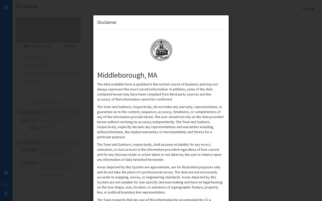
The map is a practical starting point for Middleborough neighbors, not a survey or final title determination. Its own disclaimer says the data can be approximate and must be independently verified.
| MapGeo control | Documented use |
|---|---|
| Address | Optional Attributes text search for a street or address. |
| Owner | Optional Attributes text search for an owner name. |
| Property ID | Optional Attributes text search for the parcel identifier. |
| Property Quick Search | Quick Search input; the static inspection did not document its parser. |
| Search | Runs the quick or Attributes search. |
| Selection and Abutters | Use map selection and the nearby-parcel workflow. |
| Themes and Markup | Browse layers or add map annotation; the exact live theme list was not exposed. |
- Search the target address, owner, or Property ID, or select the parcel directly on the map.
- Open the Selection and Abutters context, then note each adjoining parcel’s map position and Property ID.
- Open the owner or property route for each nearby parcel and retain the situs and mailing fields as separate facts.
- Confirm legal ownership, plans, easements, or lot changes in TitleView and the assessor record.
- Use Themes only for land-use context such as zoning, conservation, or flood information, not as an occupant list.
Middleborough Block Owner Checks
The Middleborough Board of Assessors directs residents to property record cards, owner information, maps, assessments, and exemptions. Vision and MapGeo can lead from a parcel to an assessed owner, but the owner mailing address may be local, out of town, or tied to an entity or agent. It is a contact clue for the assessed owner, not proof that every person at the physical address is identified.
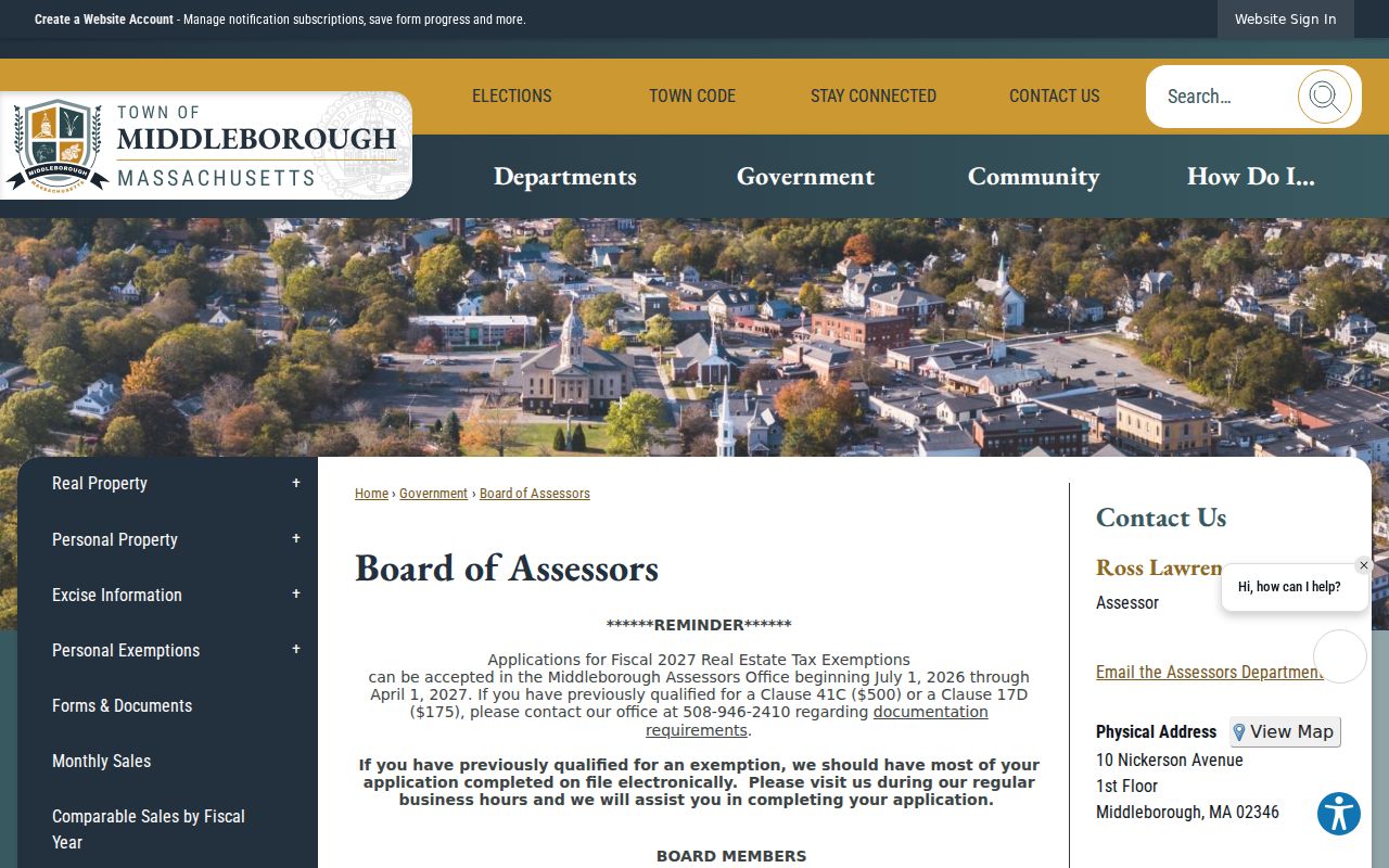
The Board of Assessors page is shown in the Town’s official assessor resource.
A parcel card can include owner, mailing address, situs address, land and building value, assessment year, exemption, sketch, acreage, use or class, and map/lot reference. The live portal does not expose a fixed static field order, so verify the current card. Legal descriptions in a recorded deed preserve the land identity when street numbers change or several parcels share an address.
For a full named-street chain rather than an immediate block, use the Middleborough by-street directory and work from the parcel outward.
Middleborough Neighbor Community Contacts
Middleborough did not have a verified townwide HOA directory, umbrella neighborhood council, or public membership roster in the official sources inspected. The safer community layer is the Town’s Local Resources and Community Organizations index. It lists public groups and directs visitors to outside organizations, while warning that those outside sites are not controlled by the Town. These are public-contact leads, not evidence that a person belongs to a group.
Local history and cemeteries
Friends of the Middleborough Cemeteries, the Middleborough Historical Association, and the Peter H. Peirce Homestead can lead to programs, published history, and archival contacts.
Library and museums
Friends of the Middleborough Public Library and the Robbins Museum are public community routes for events, local-history resources, and institutional contacts.
Civic and service groups
The Town index includes the Rotary Club of Middleboro, Middleborough Lodge of Elks, Scouting, Sustainable Middleborough, churches, and food-pantries.
Education and recreation
East Middleborough 4-H, Soule Homestead Education Center, youth sports, and recreation links are community information routes rather than block rosters.
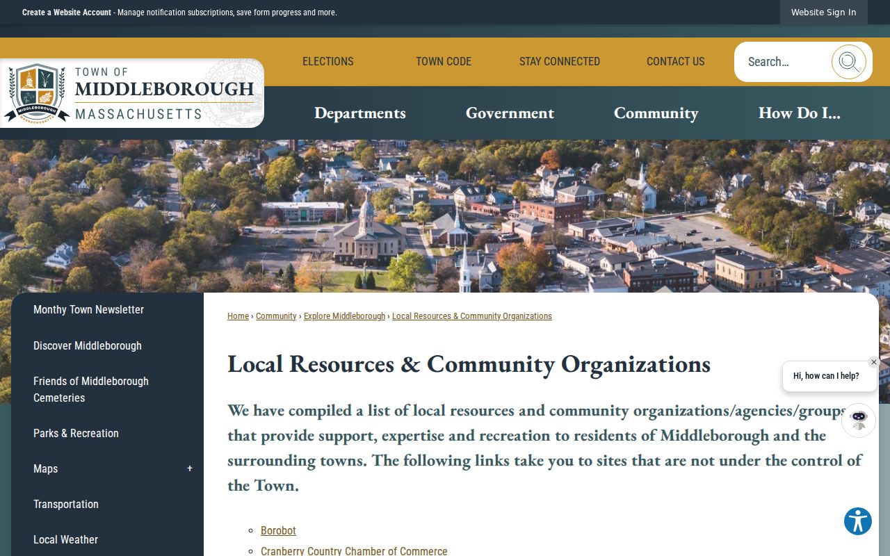
The Town’s community index is the starting screen for these public contacts.
Middleborough Public Library local-history boxes add older organization traces, including Odd Fellows material from 1915, Red Men, Alden Shoe, church, cemetery, and local-organization files. They can help place a group in time but do not create a public membership list.
Middleborough Voter File Limits
A voter-status result and a block file are different things. The Secretary’s My Voter Registration Status form requires first name, last name, month, day, year, residential ZIP, and an agreement checkbox. It is intended for an individual to check status, not to create a street roster. A municipal voter or street-list request belongs with the local election official and should identify the desired date or version, format, and scope.
Public voter-file fields can include name, address, party, status, registration history, and participation information, but phone and email, confidential voter records, minors, veteran status, permanent absentee information, and other protected information are withheld. The statewide central registry is not a general public download. Middleborough’s annual census is also a separate return-based street-list instrument, not a complete current voter roll.
The 2026 Middleborough annual census form separates a mailing address from a residential address, includes the precinct and voter code, and records moved or deceased updates. State law calls for an annual street listing as of January 1 and a return within ten days. Public-safety and law-enforcement names and addresses are excluded from the street listing. Those details make the form useful only for a dated municipal-record question, not for a present-tense neighbor claim.
Note: Never combine annual-census and voter results without checking record dates and protected-status rules.
Middleborough Gazette Block History
Historic neighbors can be traced through a different set of sources. The Silvia Genealogy Room combines the 1649–1945 local vital index, selected directories, a 1946 telephone book, Gazette index, cemetery material, licensed genealogy computers, and local-history boxes. Gazette notices, directory entries, and older records can show a household or organization at a past point in time. They do not establish current occupancy.
When a street string fails, check old street labels, map/lot references, and street-renumbering files before treating the gap as a move. The Town’s local-history material includes street-renumbering lists and building or history folders. That paper trail can connect a historic block description to the modern parcel map without assuming the number alone stayed fixed.
The Middleborough Historical Association is another local-history contact, with holdings and public programs at 18 Jackson Street. It is a private nonprofit resource, not a Town office. The Town community index, library sources, and historical association can point to published history or archival contacts, but none should be treated as a current neighborhood directory.
Neighbor Privacy in Middleborough
Public parcel data cannot identify every household member. Utility and delivery records are not public household directories, and an owner may not be a current occupant. Massachusetts Address Confidentiality Program participants can use a substitute address under G.L. c.9A and 950 CMR 130.00. Confidential-voter rules can also shield qualifying voters. A missing name can be a privacy protection, a limit of the source, or a record from a different time.
Use only the official data needed for a lawful personal question. If a record is wrong, ask the Town, Registry, court, library, or state agency that holds the original about its correction or confidentiality process. A private compilation cannot override the official custodian.
Lawful use. Middleborough neighbor records are for lawful personal research and civic context. Using public facts to stalk, harass, threaten, or intimidate anyone can have serious consequences under Massachusetts law.
Middleborough Official Neighbor Comparison
Official records and commercial neighbor-lookup categories answer different questions. A compiled result may combine assessor, voter, directory, marketing, and user-supplied fragments, but it may be stale or merge people with the same name. It cannot reliably account for non-owner household members, protected voters, or utility customers. An official record is slower to compare, yet it identifies the custodian, record date, coverage, and access limit.
| Approach | Useful evidence | Key limit |
|---|---|---|
| MapGeo plus Vision | Parcel location, assessed owner, situs, mailing field, and map context | Map data is approximate and owner data is not a household list |
| TitleView and Registry | Recorded transfers, legal descriptions, plans, easements, and lot changes | A recorded interest does not prove current occupancy |
| Town file and community contacts | Lawfully released local fields and public organization contacts | Protected records and private membership information stay out of scope |
| Compiled commercial category | Potentially broad fragments from mixed sources | Accuracy, timing, correction, and source identity may be unclear |
For a reliable Middleborough neighbors question, keep the chain visible: address to parcel, parcel to official owner record, and owner record to the recorded land file when title needs confirmation.